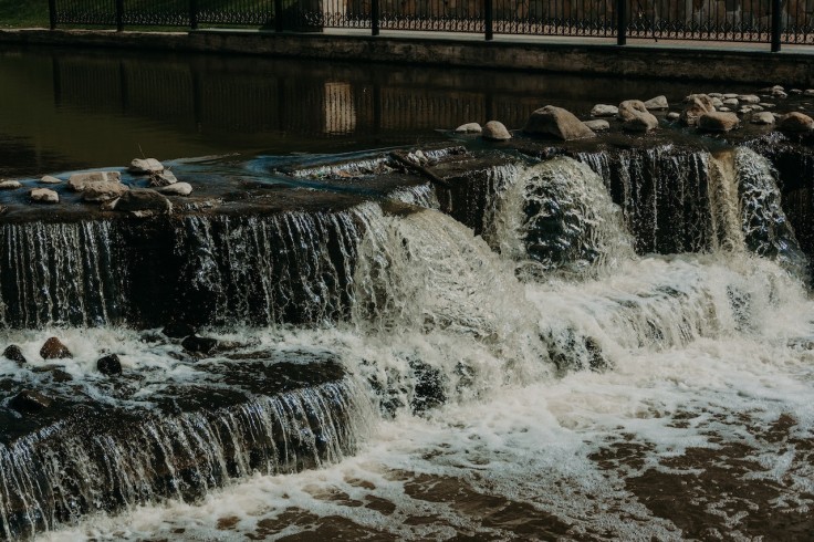
If you're curious about how likely it is for your neighborhood to flood during a heavy downpour, flood maps are an excellent tool to use.
These maps depict the tendency of water to surround neighborhoods and regions that would be affected by nearby rivers or streams during extreme storms.
But there are factors which affect the data on flood maps, and this includes climate change.
Throughout the years, climate change has been affecting the world, and arguably, we can slowly feel its effects.
Flood Maps Are Now Outdated
In light of a string of disastrous floods brought on by excessive rainfall brought on by climate change, Deanne Criswell, the director of the Federal Emergency Management Agency (FEMA), admitted to CNN that the federal government's flood maps are out-of-date, according to Gizmodo.
Criswell pointed out that the flood maps did not take these excessive rainfalls into account.
But as a result of climate change, record rain events are becoming more frequent, worsening storms.
In just the last 30 years, the U.S. has already suffered $75 billion in flood damage, according to a separate report by Gizmodo.
The effects of climate change are arguably evident based on the occurrences to our climate. One 2020 study found that once-in-100-year rain events are now occurring 5 times more frequently than before and may eventually happen every five years on average.
When asked if FEMA would update its forecasts to account for climate change, Criswell noted that "there's a lot of work that needs to go into that."
Read More : Google Maps' Eco-friendly Directions Expands to Europe, Offers Route Calculations Based on Vehicle Type
Jackson, Mississippi Lacks Drinkable Water After A Severe Flooding From the Pearl River
After recent severe flooding from the Pearl River left much of the city without running or drinking water, Jackson, Mississippi, faced a severe water crisis.
More than 180,000 people were left without running or drinking water from the tap due to the overflowing river. The water is flowing, but due to problems with the treatment plant, it cannot be consumed.
Tate Reeves, the governor of Mississippi, issued a state of emergency due to the severity of the ongoing water problems.
The Guardian reports that Criswell was questioned about the events in Jackson.
According to Criswell, authorities must begin to consider what the dangers will be in the future as a result of climate change so that mitigation measures can be put in place.
FEMA, on the other hand, would work with local governments to assist them in developing better predictive models.
Scientists Warned About FEMA's Map System
Longtime critics of FEMA's map system include scientists and outside analysts who feel that it falls short.
According to Gizmodo, in contrast to what FEMA's official statistics indicate, a 2020 report from the nonprofit First Street Foundation claimed that 60% more properties were found to be at significant danger of flooding.
Considering that there has been significant climate change throughout the years, it has arguably become clear that the federal government's current risk forecasts are insufficient for the climate change era.
Related Article : 5 Real Estate Apps for Those Who are House Hunting


