The latest Geostationary Operational Environmental Satellite - R (GOES-R) series satellite has been successfully lifted off from Cape Canaveral Space Force Station this afternoon.
The satellite in question, the GOES-T satellite, rode a United Launch Alliance Atlas V 541 rocket on March 1 at 4:38 pm EST.
The National Aeronautics and Space Administration (NASA) and the National Oceanic and Atmospheric Administration (NOAA) expects that the GOES-T satellite will deploy from the rocket three and a half hours after liftoff.
Should everything during its deployment procedure go smoothly, the GOES-T satellite would be renamed GOES-18, per a Space.com article.
GOES-T's Role in the Skies
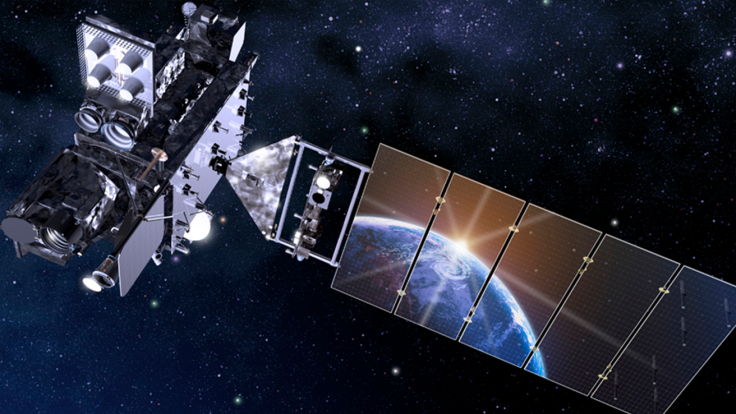
As part of this satellite series, the GOES-T would be providing weather forecasters and emergency managers with advanced imagery and atmospheric measurements, real-time mapping of lightning activity, and space weather monitoring.
The satellite can do these tasks thanks to several specialized equipment on-board. One of which, the Geostationary Lightning Mappers, allows the satellite to send weather forecasters data on initial thunderstorm developments and intensifying severe storms before they produce damaging winds, hail or even tornadoes using the increase in lightning activity during a severe storm's development.
Once in orbit, the GOES-T satellite, or the GOES-18 as it would be known by then, would replace the GOES-17 satellite as the "GOES West Satellite" and would be instructed to drift 137-degrees west to monitor the eastern Pacific Ocean, Mexico, Central America and the western United States which includes Hawaii and Alaska, per Space.com and Weather Nation TV.
The Goes-18 satellite will also monitor space weather in its area of responsibility, which includes detecting solar storms and solar flares.
The Reason Behind the New Satellite
Weather Station TV's report stated that the GOES-17 satellite is experiencing a cooling problem on its Advanced Baseline Imager (ABI), the instrument that allows GOES-R satellites to capture Earth's weather, oceans and environment in space at a higher quality to be used in forecasts and severe weather warnings.
The problem with GOES-17's ABI was that its loop heat pipe subsystem, which transfers heat from the ABI's electronics to the radiator, is not operating as was originally designed. As such, GOES-17 can't be used to monitor the weather under specific orbital conditions, leading to a partial loss of infrared imagery.
Although engineers have mitigated problem of GOES-17's cooling, it significantly shortened GOES-17's lifetime, according to a Space News report. However, the satellite is expected to exceed the 10-year lifetime requirement.
A foreign object or space debris that is blocking the GOES-17's coolant flow in the loop heat pipes may have caused GOES-17's problem. Thanks to this, some modifications have been made to the GOES-T to avoid such problems again. This time, the GOES-T uses a "simpler hardware configuration," eliminating the filters that are prone to debris.
Related Article : NASA, NOAA CONFIRM GOES-T Weather Satellite Launch on March 1


