The new features of Google Maps will make your life easier as it will connect you with information that you needed.
In addition to showing traffic jams, speed traps, road closures and fast routes, Google Maps will now show you tolls together with its price.
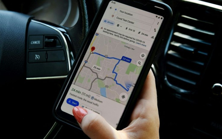
The new feature of Google Maps is presently available on Android and iOS.
Google is Rolling Out Toll Prices on Google Maps
In an announcement in its website, Google said that they're rolling out toll prices on Google Maps to help make the choice between toll roads and regular roads easier.
"You'll see the estimated toll price to your destination before you start navigating thanks to trusted information from local tolling authorities. We look at factors like having a toll pass or not, what the day of the week it is, along with how much the toll is expected to cost at the specific time you'll be crossing it," Google posted.
According to Android Police, last summer the evidence that Google Maps was working on detailed toll data was observed. However, Google formally announced the feature only this April.
Despite the company's announcement that we would be seeing tolls soon, we've only seen it ourselves very recently. It started with scattered reports last week.
Today, however, Google officially announced that "things really are going wide," following a new post that confirmed that the toll information is already available.
According to the Google website, "you will have the option within settings to show toll prices with or without having a toll pass--as in many geographies the price changes based on the payment method you use."
With this, by selecting "avoid tolls" in settings "you will also still have the option to avoid routes crossing toll roads entirely."
Read Also: Google's Navigation Apps Waze, Google Maps Face Lawsuit for Anti-Competitive Practices
US, India, Indonesia will Be the First Ones to Get Toll Data on Maps
The first one to get toll data in Google Maps are users in the US, India, and Indonesia. Google said that there will be more countries that will follow soon.
As of writing, there is no word yet from Google if they will be bringing toll data to Google Maps on the Web. Currently, access is limited to Google Maps on Android and iOS devices.
Here are other things that limit the Google Maps toll feature. Maps only computes a total for a complete routes. Tolls for individual roads will not be shown on the maps.
According to Android Police, the figures shown in Maps are "estimates based on toll pass rates." It seems like E-ZPass-style transponder discounts are factored in. Thus, you'll probably be paying more if you have to pay in cash, if you drive anything with extra axles.
Google Maps is a web mapping platform. It is a consumer application offered by Google. Satellite imagery, aerial photography, street maps, 360° interactive panoramic views of streets as well as real-time traffic conditions, and route planning for traveling by foot, car, bike, air and public transportation are among the features being offered by the app.
As of 2020, over one billion people are using Google Maps every month around the world.
Related Article: Google Maps On iOS To Have 'Nearby Traffic Widget'


